GUEST: It belonged to my parents, and I'm sure they inherited it from someone further down the line. When we were closing our parents' home after they died, my older siblings had this in the outdoor trash can.
APPRAISER: Mm-hmm.
GUEST: I didn't want anything disposed of, so I went and fetched it, and I've had it ever since. That was about 50 years ago.
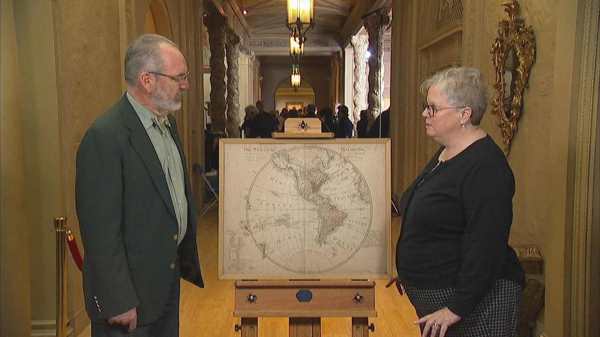
APPRAISER: Well, it's a German map, and it was done in Nuremberg in 1797. The cartographer's name is right up here-- Schneider-- and he would have issued several editions into the early 19th century. And it's the Western Hemisphere, and you can see the United States very nicely highlighted with original green color. Now, originally, that color would have been green, but they made it with copper, and the copper oxidizes over time, and it turns into that kind of brownish color. It's before the Louisiana Purchase. Louisiana would have been French. And then, this is part of the Spanish New Spain. One of the interesting things about German maps is they have a lot detail, and they were very concerned about showing what was known at the time. And if you look at the American West up here, you can see there's virtually nothing there. There had been a Spanish expedition that had gone up into that area, and they had heard from the Indians of the Great Salt Lake. And you can see that there is a depiction there of that, and that's about the only information. So, that makes it interesting because it shows the state of knowledge at the time. German maps, generally not that decorative. This is not that decorative, other than the shape of it. It also has condition issues. It's got the stains along here. You can have that fixed, and that would enhance the value. I would think, in a map shop, it would probably sell for... in the order about $400 to $500.
GUEST: Okay, thank you very much for teaching me about the map.
APPRAISER: Sure, absolutely.

