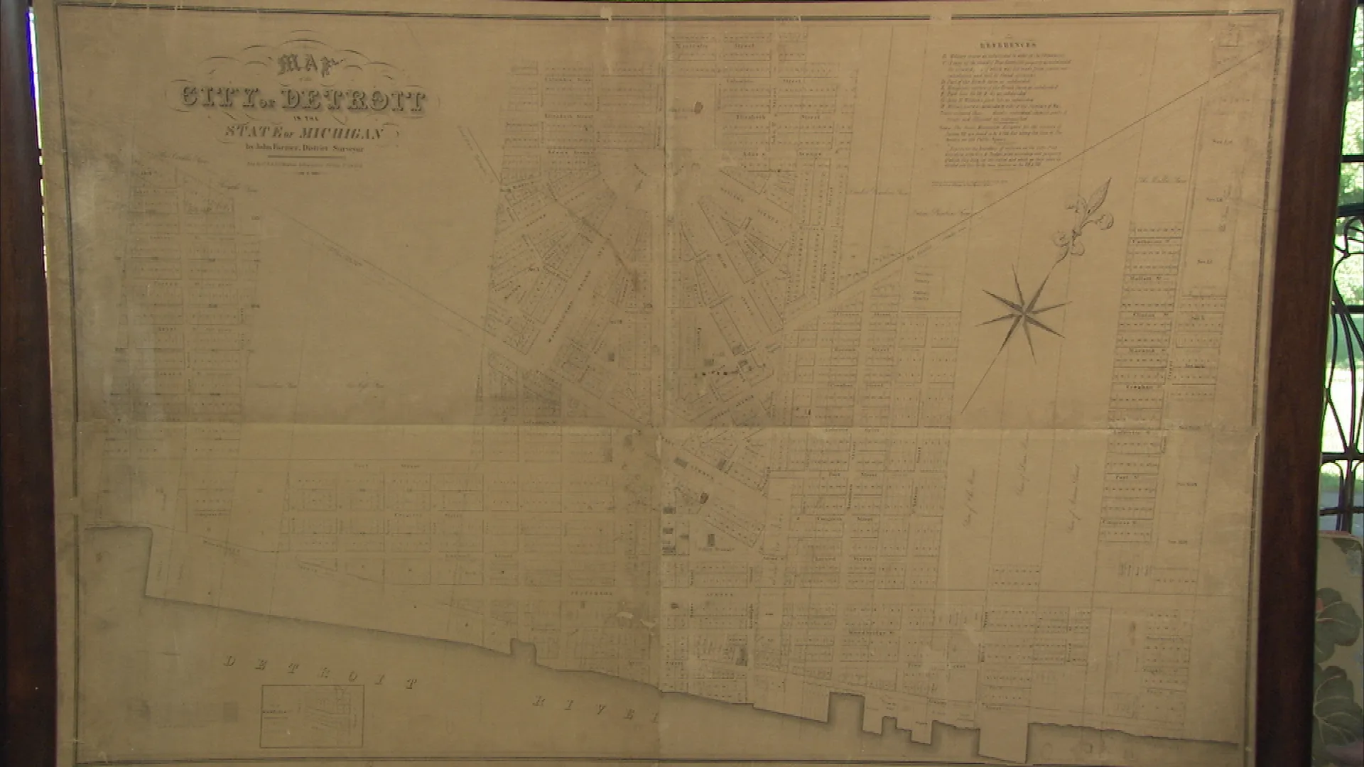
GUEST: Well, it actually came to me from my father-in-law. It was given to him by a colleague of his in the 1960s. My father-in-law took it, put it in his garage, where it stayed for 20 years or so. He had it rolled up in the garage, tucked away. Nobody even knew it was there. He pulls it out, knows I have a little affinity for maps, and said, "Would you like to have this?" And so that's how we got it. It was published in 1846, I believe, by Mitchell.
APPRAISER: Well, wall maps were printed on paper, put on linen, and mounted on these rollers here. And most of them have been destroyed over time. And you can see this map is starting to have some problems. And it's starting to flake off. And you said you looked up and you saw some values. And what was the range of values you saw?
GUEST: Values on this have ranged anywhere from $1,000 to $12,000.
APPRAISER: Right, on wall maps in general.
GUEST: On wall maps.
APPRAISER: The condition does matter for the value. This isn't in perfect shape, but it's actually pretty good. The real value from maps comes from the historical context. This particular map is done in 1846. This is Mitchell's reference and distance map of the United States. And S. Augustus Mitchell was the publisher in Philadelphia. This is incredibly detailed. It would have been in political offices and county offices. It would have been in businesses, and that kind of thing. Now, there were previous editions. The earlier maps down here in this inset had a map of the United States. In 1846, he changed that to a new map of Texas, Oregon, and California. And that's because in 1846, all sorts of stuff is going on out there. One of the things was the beginning of the Mexican American War. Texas had become a republic, the United States had absorbed it as a state. Mexico didn't like that, they went to war. Mitchell shows where that's all taking place. Down here, you have Texas. This shape goes all the way up to really to Colorado. And that was an independent republic. The United States, within a couple years, gained that whole territory. But not only was that going on in 1846, it was also the year that they signed the Oregon Treaty with Great Britain. You can see here Oregon is shown very, very large. And it had been under joint custody between the United States and Britain. Well, the president-- because he knew he was going to war with Mexico--said, "Well, I can't have a fight on both borders," so he signed a treaty, and the year this map was issued, they drew the border right across here.
GUEST: Okay.
APPRAISER: Mitchell also issued this inset--just the inset--as a separately issued folding map. And actually, in Eugene, Oregon, last year I saw that folding map. That appraisal of that map was approximately the same value as this wall map. In this kind of condition, in a shop in a retail environment, I think it probably should have a value of about $11,000 to $12,000.
GUEST: Wow.
APPRAISER: So, yeah, right at the top end of that range. If you had 1845, and it had just the United States, you're talking maybe a $2,000 map.
GUEST: My goodness.
APPRAISER: The difference is this is a primo map of the American West at a very important time.
GUEST: Tremendous.

